Sam Simmons · 22 September 2026
School Programs Bridge Ancient Roman Discoveries with Current Wildlife Monitoring Efforts
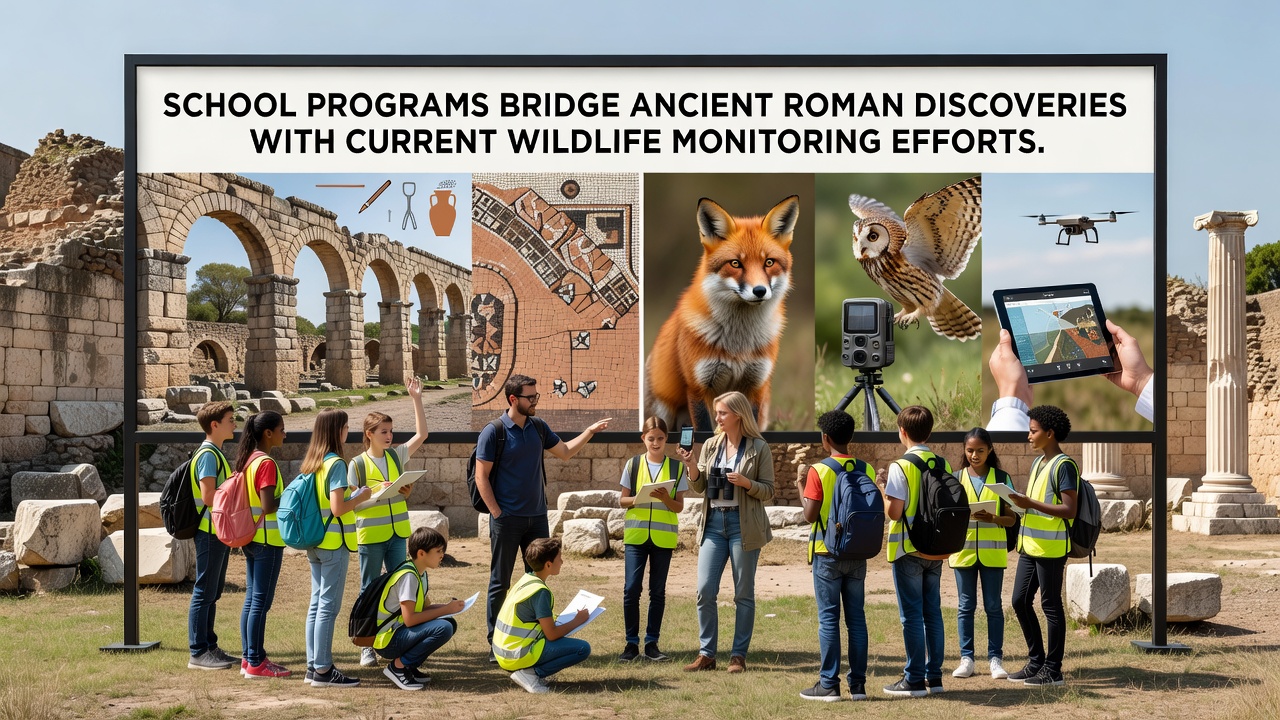
School programs across several regions now integrate lessons on ancient Roman sites with hands-on wildlife monitoring techniques, and this approach draws on archaeological findings that reveal how Roman land management affected local ecosystems. Educators in Italy and parts of Britain have developed curricula where students analyze Roman road networks and villa remains while collecting data on bird populations and mammal movements in the same areas. Data from these initiatives show increased student engagement in both history and environmental science classes, according to reports compiled by participating schools.
Historical Foundations of the Approach
Roman engineering projects altered habitats through drainage systems and agricultural expansion, and researchers have mapped these changes using excavation records that date back to the first century CE. Modern programs use similar mapping tools to track current species distributions, which allows students to compare historical land use patterns with present-day observations. Studies conducted by university teams in southern Europe indicate that areas once occupied by Roman settlements often support different biodiversity levels compared to undisturbed zones, and school groups contribute to these datasets through standardized field protocols.
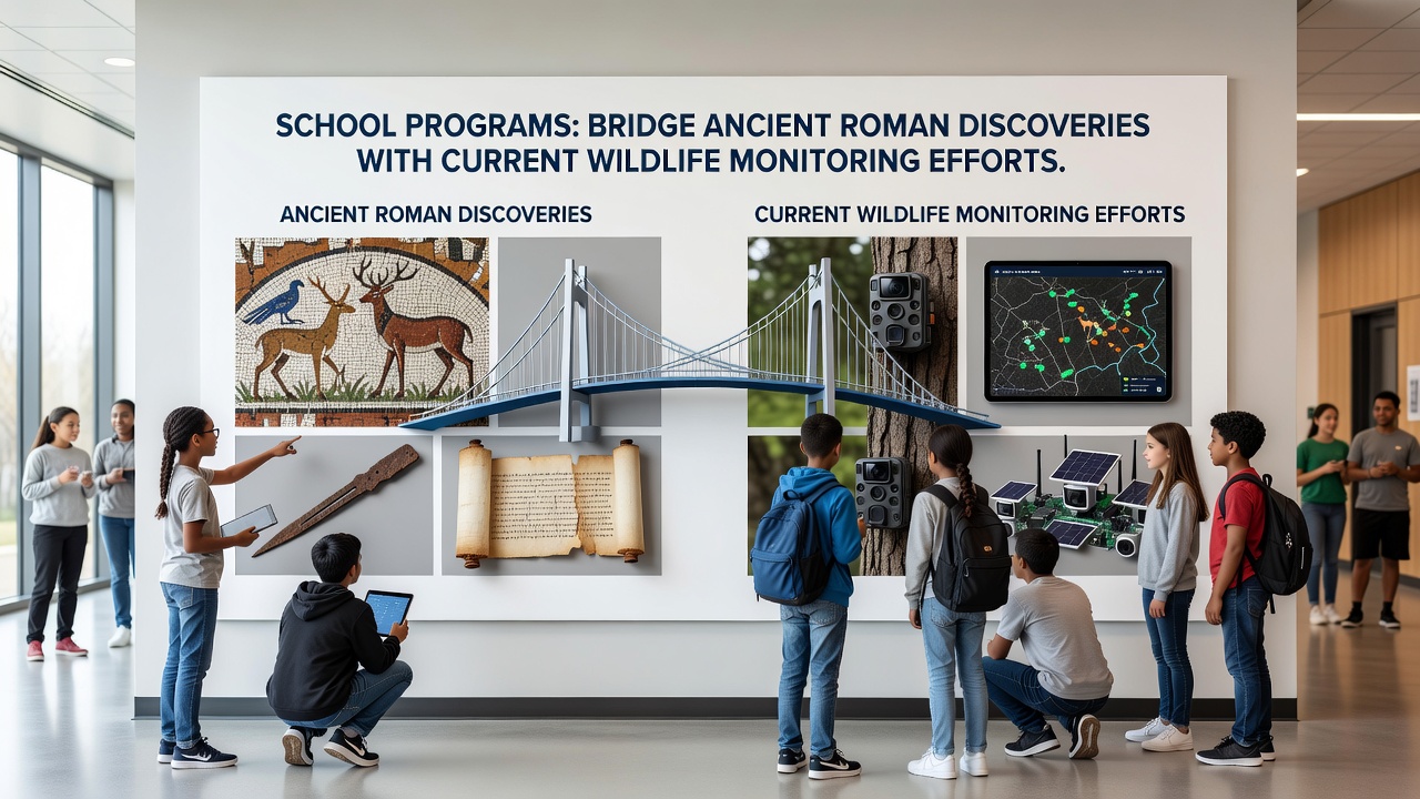
Programs typically begin with classroom sessions on Roman history followed by outdoor sessions where participants deploy camera traps and audio recorders near known archaeological features. This structure connects past human activity to ongoing ecological processes, and participation numbers have risen steadily since the programs expanded in 2023.
Wildlife Monitoring Techniques in Educational Settings
Students learn to identify tracks and calls of species such as deer, foxes, and migratory birds while documenting their findings in shared databases. These methods mirror those used by professional conservation groups, and the European Environment Agency has noted that citizen science contributions from schools improve the resolution of regional biodiversity maps. Training sessions cover equipment calibration and data validation, which ensures that student-collected information meets quality standards for inclusion in larger research projects.
September 2026 marks the scheduled rollout of an expanded network linking schools in three additional countries to a central monitoring platform, and organizers expect several thousand more participants to join the effort. The platform aggregates observations from Roman-era sites and surrounding landscapes, which provides a broader view of how historical modifications continue to influence habitat connectivity.
Integration with Curriculum Standards
National education frameworks in multiple countries now include modules that combine archaeology with ecology, and teachers report that cross-disciplinary projects help students retain information more effectively than isolated lessons. For instance, lessons on Roman agriculture incorporate soil sampling techniques that also serve wildlife habitat assessments. Government agencies in Canada have supported similar pilot efforts through grants that fund equipment purchases for participating schools, and these resources extend the reach of monitoring activities beyond traditional classroom hours.
Assessment rubrics evaluate both historical analysis and data accuracy, which encourages balanced participation across subjects. Observers note that students often discover connections between Roman water management structures and current wetland bird populations during these exercises, and the resulting reports feed into regional conservation planning documents.
Case Examples from Different Regions
In one district near Roman frontier sites, students documented a 15 percent increase in small mammal activity around restored sections of ancient earthworks over a two-year period. Another program in Mediterranean zones tracked changes in reptile distributions near villa ruins, and findings aligned with broader climate data sets maintained by research institutions. These examples illustrate how localized school efforts contribute to cumulative knowledge bases without requiring specialized professional teams for every data point.
Partnerships with museums provide access to artifacts and site maps that ground the monitoring work in tangible history, and digital archives allow remote schools to participate through virtual reconstructions. Figures from academic evaluations reveal steady growth in program enrollment, particularly among secondary students who balance the activities with standard coursework requirements.
Future Developments and Data Sharing
Continued expansion depends on sustained funding and coordination between education departments and environmental agencies, and planners anticipate further integration of satellite imagery with ground-level student observations. New protocols scheduled for introduction after 2026 will standardize data formats across borders, which should facilitate larger-scale analyses of landscape changes since Roman times. Research institutions continue to review contributions from these programs to refine models of long-term ecological shifts.
Conclusion
School programs that link Roman discoveries to wildlife monitoring have established measurable pathways for students to engage with both historical records and current ecological data collection. The combination of field techniques and curriculum alignment supports ongoing contributions to regional databases, and scheduled expansions in 2026 will broaden geographic coverage. These efforts demonstrate practical applications of integrated education models that draw on evidence from multiple disciplines.