
Sam Perry · 6 October 2026
Erlewald Youth Bridge Ancient Discoveries to Modern Ecological Changes
Students at Erlewald schools have spent recent months examining how Roman-era artifacts found in the region connect with shifting bird migration patterns and ongoing local sustainability methods, and their work gained fresh attention during October 2026 presentations at community centers across the area.
Archaeological records show that Roman settlements left behind pottery shards, tools, and structural remains that align with former wetland zones now monitored for bird activity, while those same zones support alder-based forestry practices that local groups track through annual growth measurements and soil assessments.
Connecting Historical Finds with Current Observations
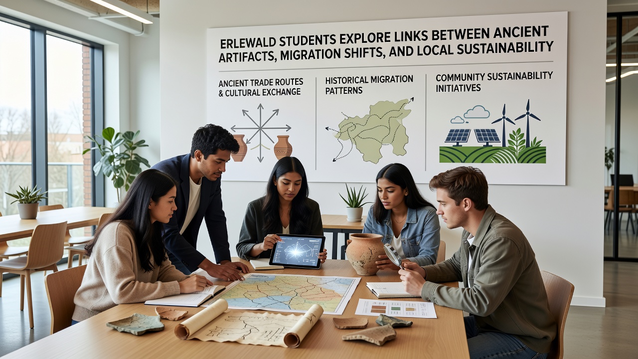
Teams of secondary students worked alongside local historians and ecologists to map artifact locations against data collected from bird banding stations, and the resulting charts revealed that several migration corridors pass directly over sites where Roman drainage systems once operated, systems that altered water flow in ways that still influence present-day vegetation patterns.
Figures from regional environmental monitoring programs indicate that certain bird species adjust routes when forest canopy density changes, and students cross-referenced these adjustments with records of Roman-era land modifications that had redirected streams, creating a timeline that stretches from the first century to the present.
Field Methods and Data Collection
Participants used handheld GPS units to mark artifact positions during supervised digs, then layered that information onto satellite imagery showing seasonal bird concentrations, while parallel records from sustainability audits documented how alder grove maintenance affects water retention in the same soil layers that preserve older remains.
One group compared carbon dating results from wooden artifacts with tree-ring samples taken from living alders, and the overlaps pointed to periods when human activity and forest composition shifted together, prompting further checks against migration logs kept by volunteer observers since the early 2000s.
Broader Patterns in Regional Research
European Environment Agency reports on habitat connectivity note that small-scale land use changes accumulate over centuries, and Erlewald students applied similar frameworks to their own datasets by plotting artifact clusters against current bird count trends and grove health indicators collected through citizen science apps.
University-led studies from institutions in Germany and Canada have examined comparable overlaps between cultural heritage sites and ecological corridors, yet the Erlewald project stands out because students integrated real-time water cycle measurements taken from local streams that run near both excavation areas and active migration flyways.
Community Involvement and Next Steps
Local forestry cooperatives supplied harvest records that students matched against artifact distributions, revealing that certain sustainable cutting cycles coincide with periods when bird populations stabilize around preserved wetland edges, and these matches encouraged joint workshops planned for late 2026.
School coordinators arranged visits to regional archives where additional Roman documents describe early land management, and participants then tested those descriptions against present soil samples to see whether ancient techniques still support the same tree species now central to sustainability plans.
Conclusion
By October 2026 the student projects had produced layered maps that display artifact sites, migration corridors, and sustainability zones on single digital platforms, and these maps now circulate among regional planning offices for reference during future land assessments, while the underlying datasets remain available for additional analysis by both educators and independent researchers.